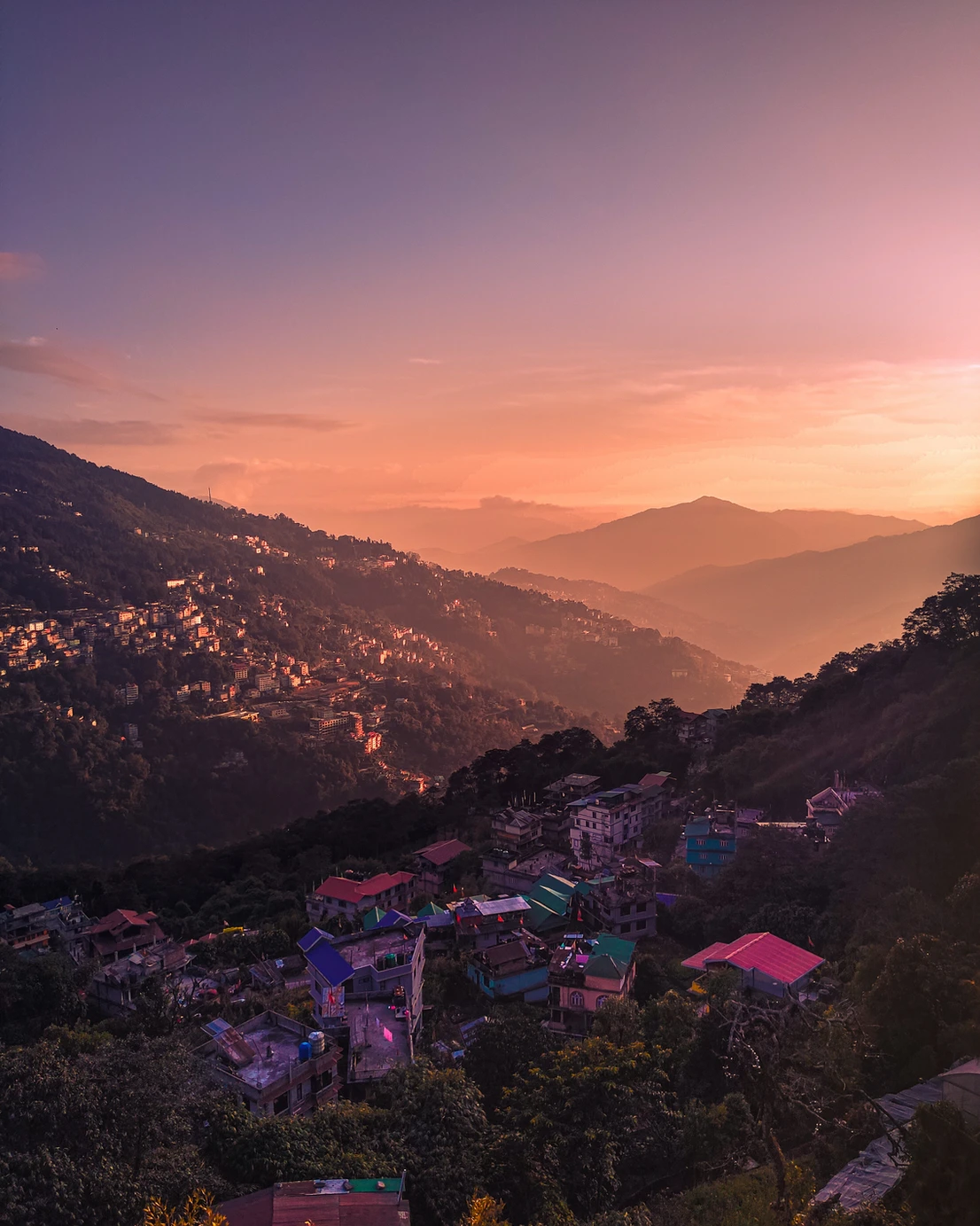
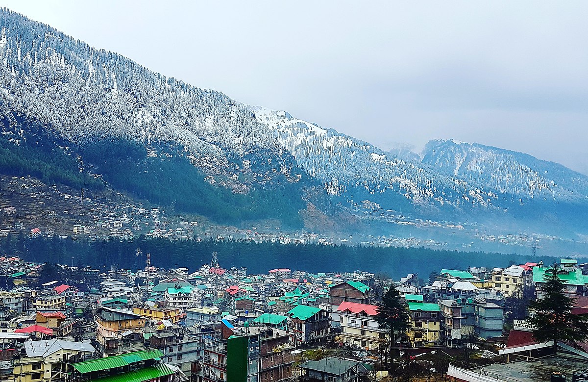
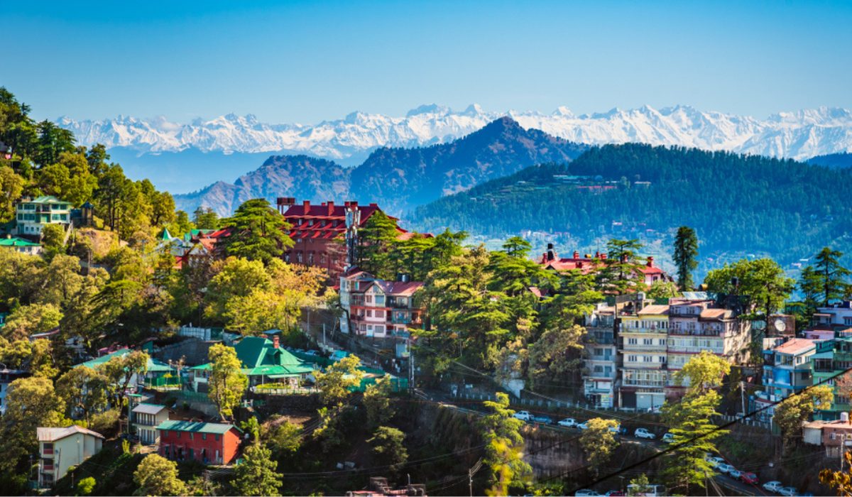
Ooty officially known as Udhagamandalam (also known as Ootacamund abbreviated as Udhagai), is a town and municipality in the Nilgiris district of the Indian state of Tamil Nadu, 86 km (53 mi) north west of Coimbatore, and the headquarters of the Nilgiris district. In the Nilgiri Hills, it is known as the “Queen of Hill Stations” and is a popular tourist destination.
Originally occupied by the Toda people, the area came under the rule of the East India Company in the 18th century. It later served as the summer capital of the Madras Presidency. The economy is based on hospitality industry serving tourism and agriculture. The town is connected to the plains by the Nilgiri ghat roads and Nilgiri Mountain Railway.
Etymology
The region was earlier known as Ottakal Mandu, with Otha-Cal meaning “single stone” in Tamil, a reference to a sacred stone revered by the local Toda people and Mandu, a Toda word for “village”. This later became Udhagamandalam which was anglicised to Ootacamund by the British, with the first part of the name (Ootaca), a corruption of the local name for the region and the second part (Mand), a shortening of the local Toda word Mandu.The first known written mention of the place is given as Wotokymund in a letter dated to March 1821 written to the Madras Gazette from an unknown correspondent. Ootacamund was later shortened to Ooty. Ooty is in the Nilgiri hills, meaning the “blue mountains”, so named due to the Kurunji flower which used to give the slopes a bluish tinge.
History
The earliest reference to Nilgiri hills is found in the Tamil Sangam epic Silappathikaram from the 5th or 6th century CEo The region was a land occupied by various tribes such asras, Badagas, Todas, Kotas, Irulas and Kurumbas. The region was ruled by the three tamil kingdoms of Cheolas and Pandyas during various times. The Todas are referenced in a record belonging to Hoysala king Vishnuvardhana and his general Punisa, dated 1117 CE. It was also ruled by various dynasties like Pallavas, Satavahanas, Gangas, Kadambas, Rashtrakutas, Hoysalas and the Vijayanagara empire. Tipu Sultan captured Nilgiris in the eighteenth century and the region came into possession of British in 1799. It became part of Coimbatore district of the Madras Presidency.

In 1818, J. C. Whish and N. W. Kindersley, assistants to John Sullivan, then collector of Coimbatore district, visited Kotagiri near Rengaswamy peak. Sullivan established his residence there and reported to the Board of Revenue on 31 July 1819. He also started work on a road from Sirumugai which was completed in May 1823 and extended up to Coonoor between 1830–32. In August 1868, the Nilgiris was separated from the Coimbatore district and James Wilkinson Breeks was appointed its commissioner. On 1 February 1882, Nilgiris was made a district and Richard Wellesley Barlow who was the then commissioner became the first collector of Nilgiris. The region serves as the summer capital of the Madras Presidency and was visited by British officials as a summer retreat. Soldiers were sent to the nearby Wellington to recuperate. After Indian Independence, the town developed into a popular hill resort and Wellington became the home of the Defence Services Staff College of the Indian Army
Geography

Ooty is located in the Nilgiri hills, which form a part of the Western Ghats in the Nilgiri Biosphere Reserve. It is separated from the neighboring state of Karnataka by the Moyar river in the north and from the Anaimalai and Palani hills in the south It is situated at an altitude of 2,240 metres (7,350 feet) above sea level. The total area of the town is 30.36 km2 (11.72 sq mi). Doddabetta is the highest peak (2,623 km or 1,630 mi) in the Nilgiris, about 10 km (6.2 mi) from Ooty.
Ooty Lake is an artificial lake covering 65 acres (26 ha) created in 1824. Pykara, a river located 19 km (12 mi) from Ooty, rises at Mukurthi peak and flows through a series of cascades with the last two falls of 55 metres (180 ft) and 61 metres (200 ft) known as Pykara falls Kamaraj Sagar Dam is located 10 km (6.2 mi) from the Ooty Emerald Lake, Avalanche Lake and Porthimund Lake are other lakes in the region.
Climate
Ooty features a subtropical highland climate (Cwb) under Köppen climate classification.m Because of its high altitude, the temperatures are generally lower than the surrounding plains with the average between 10–25 °C (50–77 °F) during summer and 0–21 °C (32–70 °F) during winter. The highest temperature ever recorded was 28.5 °C (83.3 °F) and the lowest temperature was −5.1 °C (22.8 °F). The town gets heavy rainfall during both South-West and North-East monsoons and the average rainfall is about 1,100 millimetres (43 in) of precipitation annually.
| Month | Average High (°C) | Average Low (°C) | Average Rainfall (mm) |
|---|---|---|---|
| January | 17 | 5 | 22 |
| February | 18 | 6 | 24 |
| March | 20 | 8 | 48 |
| April | 21 | 10 | 98 |
| May | 20 | 12 | 132 |
| June | 18 | 11 | 124 |
| July | 17 | 11 | 112 |
| August | 17 | 11 | 105 |
| September | 17 | 10 | 121 |
| October | 17 | 9 | 166 |
| November | 17 | 7 | 99 |
| December | 16 | 6 | 38 |
Biodiversity and wildlife

Ooty forms part of the Nilgiri Biosphere Reserve, the largest protected forest area in India. It was declared as a protected reserve in 1986 and is part of UNESCO’s Man and the Biosphere Programme. Mudumalai National Park and tiger reserve lies on the north-western side, about 31 km (19 mi) from Ooty and was established in 1940 as the first wildlife sanctuary in India.

The region is part of the South Western Ghats montane rain forests ecoregion. Nilgiris harbours thousands of plant species including medicinal plants and endemic flowering plants. Stunted evergreen trees grow in shola forest patches above 1,800 m (5,900 ft) and are festooned with epiphytes.The native vegetation consisted of Meadows and grasslands on the hillsides with shola forests in the valleys. When the British populated the town, invasive species of pine, wattle and eucalyptus were planted along with tea plantations and they became the dominant species replacing the native vegetation.
Transport
Road
Ooty is well connected by roads known as the Nilgiri Ghat Roads. It is situated on NH 181. The municipality maintains roads in the town. Public bus services operated by Coimbatore division of TNSTC SETC, KSRTC (Karnataka) and KSRTC (Kerala) connect to distant towns in Tamil Nadu and neighboring states.
Rail

Nilgiri Mountain Railway is a 1,000 mm (3 ft 3+3⁄8 in) metre gauge railway in Nilgiris district connecting Udagamandalam and Mettupalayam. The Nilgiri Railway Company was formed in 1885 and the Mettupalayam Coonoor section of the track was opened for traffic on 15 June 1899. The railway was operated by the Madras Railway until 31 December 1907 and was handed over to South Indian Railway. The line from Coonoor to Ooty was completed in 1908. Operated currently by the Southern Railway zone of Indian Railways, it is the only rack railway in India and operates on its own fleet of steam locomotives between Coonoor and Udhagamandalam In July 2005, UNESCO added the Nilgiri Mountain Railway as an extension to the World Heritage Site of Mountain Railways of India
Air
The nearest airport is Coimbatore International Airport, located 96 kilometres (60 mi) from the town. The airport has regular flights from/to major domestic destinations and international destinations like Sharjah, Colombo and Singapore Ooty has three helipads, one at Theettukal and two at Kodanad with the Theettukal helipad, approved by Airports Authority of India for defence and VIP services. Pawan Hans planned to start commercial services with Bell 407, but the plan has been shelved.
- Location: Ooty is situated in the Western Ghats of Tamil Nadu, at an altitude of approximately 2,240 meters (7,350 feet) above sea level.
- Scenic Beauty: Ooty is renowned for its stunning natural beauty, characterized by rolling hills, lush green valleys, dense forests, and tea plantations. The cool climate and serene ambiance make it a popular tourist destination.
- Climate: Ooty enjoys a mild and pleasant climate throughout the year, with temperatures rarely exceeding 25°C (77°F) even during the summer months. The region experiences heavy rainfall during the monsoon season, which typically lasts from June to September.
- Tourist Attractions: Ooty offers a wide range of tourist attractions, including:
- Botanical Gardens: The Government Botanical Garden is a major attraction featuring a diverse collection of plants, flowers, and trees.
- Ooty Lake: This artificial lake is a popular spot for boating and picnics, offering scenic views and tranquil surroundings.
- Doddabetta Peak: The highest peak in the Nilgiri Hills, Doddabetta offers panoramic views of the surrounding landscapes.
- Nilgiri Mountain Railway: This UNESCO World Heritage Site offers a scenic train ride from Ooty to Mettupalayam, passing through tunnels, bridges, and tea estates.
- Rose Garden: Spread over 10 acres, the Government Rose Garden is home to thousands of rose varieties and is a favorite among flower enthusiasts.
- Cultural Heritage: Ooty has a rich cultural heritage with influences from various communities, including the indigenous Toda people and the British colonial era. Visitors can explore colonial-era buildings, churches, and landmarks, reflecting the region’s multicultural heritage.
- Adventure Activities: Ooty offers various adventure activities such as trekking, mountain biking, horse riding, and camping, allowing visitors to explore the region’s natural beauty and rugged terrain.
- Local Cuisine: Ooty’s cuisine showcases a blend of Tamil, British, and Toda influences. Visitors can enjoy local delicacies such as Ooty varkey (a baked snack), homemade chocolates, and traditional Tamil dishes.


0 Comments