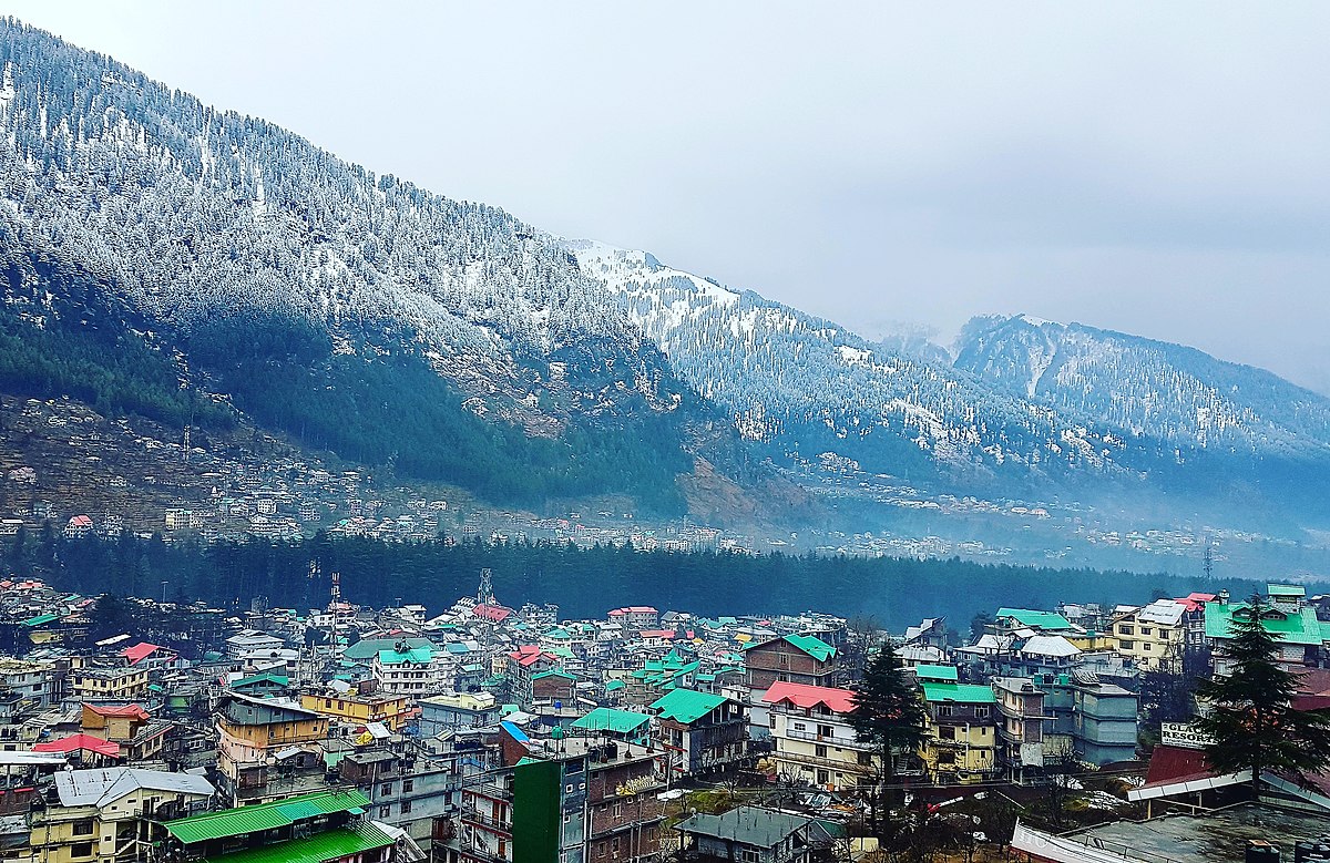
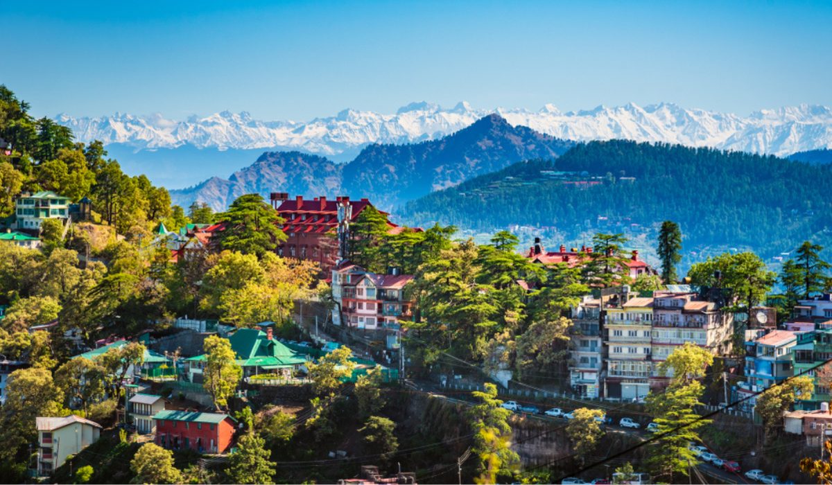
Gangtok Sikkim is the capital and the most populous city of the Indian state of Sikkim. The seat of eponymous district, Gangtok is in the eastern Himalayan range, at an elevation of 1,650 m (5,410 ft). The city’s population of 100,000 consists of the three Sikkimese ethnicities the Bhutias, Lepchas, Gorkhalis and also plainsmen from other states of India have settled here. Within the higher peaks of the Himalayas and with a year-round mild temperate climate, Gangtok is at the centre of Sikkim’s tourism industry.
Gangtok rose to prominence as a popular Buddhist pilgrimage site after the construction of the Enchey Monastery in 1840. In 1894, the ruling Sikkimese Chogyal, Thutob Namgyal, transferred the capital to Gangtok. In the early 20th century, Gangtok became a major stopover on the trade route between Lhasa in Tibet and cities such as Kolkata (then Calcutta) in British India. After India won its independence from the British Empire in 1947, Sikkim chose to remain an independent monarchy, with Gangtok as its capital. After Sikkim’s merger with India in 1975, Gangtok continued as the state capital.
History
Like the rest of Sikkim, not much is known about the early history of Gangtok. The earliest records date from the construction of the hermitic Gangtok monastery in 1716. Gangtok remained a small hamlet until the construction of the Enchey Monastery in 1840 made it a pilgrimage centre. It became the capital of what was left of Sikkim after its English conquest in the mid-19th century in response to a hostage crisis. After the defeat of the Tibetans by the British, Gangtok became a major stopover in the trade between Tibet and British India at the end of the 19th century. Most of the roads and the telegraph in the area were built during this time.
In 1894, Thutob Namgyal, the Sikkimese monarch under British rule, shifted the capital from Tumlong to Gangtok, increasing the city’s importance. A new grand palace along with other state buildings was built in the new capital. Following India’s independence in 1947, Sikkim became a nation-state with Gangtok as its capital. Sikkim came under the suzerainty of India, with the condition that it would retain its independence, by the treaty signed between the Chogyal and the then Indian Prime Minister Jawaharlal Nehru. This pact gave the Indians control of external affairs on behalf of Sikkimese. Trade between India and Tibet flourished through the Nathula and Jelepla passes, benefiting Gangtok. Trade declined with the Chinese crackdown in Tibet in 1959 and the passes were sealed after the Sino-Indian War in 1962. The Nathula pass was finally opened to limited trade in 2006, fuelling hopes of economic boom.
In 1975, after years of political uncertainty and struggle, including riots, the monarchy was abrogated and Sikkim became India’s twenty-second state, with Gangtok as its capital after a referendum. Gangtok has witnessed annual landslides, resulting in loss of life and damage to property. The largest disaster occurred in June 1997, when 38 were killed and hundreds of buildings were destroyed.
Geography
Gangtok is located at 27.3325°N 88.6140°E (coordinates of Gangtok head post office). It is in the lower Himalayas at an elevation of 1,650 m (5,410 ft). The town is on the side of a hill, with “The Ridge a promenade with the Raj Bhawan, the governor’s residence, at one end and the palace, at an altitude of about 1,800 m (5,900 ft), at the other. The city is flanked east and west by two streams, Roro Chu and These two rivers divide the natural drainage into two parts, eastern and western. Both streams meet the Ranipul and flow south as the Ranikhola before joining the Teesta at Most kind roads are steep, with the buildings built on compacted ground alongside them.

Most of Sikkim, including Gangtok, is underlain by Precambrian rocks which contain foliated phyllites and schists; slopes are therefore prone to frequent landslides. Surface runoff of water by natural streams (jhora) and man-made drains has contributed to the risk of landslides. According to the Bureau of Indian Standards, the town falls under seismic zone-IV (on a scale of I to V, in order of increasing seismic activity), near the convergent boundary of the Indian and the Eurasian tectonic plates and is subject to frequent earthquakes. The hills are nestled within higher peaks and the snow-clad Himalayan ranges tower over the town in the distance. Mount Kanchenjunga (8,598 m or 28,209 ft)—the world’s third-highest peak—is visible to the west of the city. The existence of steep slopes, vulnerability to landslides, large forest cover and inadequate access to most areas have been a major impediment to the natural and balanced growth of the city
Densely forested regions surround Gangtok, temperate, deciduous forests of poplar, birch, oak and elm, as well as evergreen, coniferous trees of the wet alpine zone. Orchids are common and rare varieties of orchids are featured in flower shows in the city. Bamboo is also abundant. In the lower reaches of the town, the vegetation gradually changes from alpine to temperate deciduous and subtropical. Flowers such as sunflower, marigold, poinsettia and others bloom, especially in November and December.
Climate
Gangtok has a monsoon-influenced subtropical highland climate (Köppen: Cwb). Because of its elevation and sheltered environment, Gangtok enjoys a mild, temperate climate all year round. Like most Himalayan towns, Gangtok has five seasons: summer, monsoons, autumn, winter and spring. Temperatures range from an average maximum of 22 °C (72 °F) in summertime to an average minimum of 5 °C (41 °F) in winter. Summers (lasting from late April to May) are mild, with maximum temperatures rarely crossing 25 °C (77 °F). The monsoon season from June to September is characterised by intense torrential rains, often causing landslides that block Gangtok’s land access to the rest of the country. Rainfall starts to rise from pre-monsoon in May and peaks during the monsoon, with July recording the highest monthly average of 649.6 mm (25.6 in). In winter temperature averages between 4 °C (39 °F) and 7 °C (45 °F). Snowfall is rare and in recent times, Gangtok has received snow only in 1990, 2004, 2005 and 2020. Temperatures below freezing are also rare. During this season the weather can be unstable and change abruptly from bright sunshine and clear skies to heavy rain within a couple of hours. During spring and autumn the weather is generally sunny and mild. Owing to its elevation, Gangtok is often enveloped in fog during the monsoon and winter months.
-
Monsoon clouds in Gangtok
-
Banjhakri Falls and Energy Park, Gangtok
-
River Teesta is the lifeline of Gangtok
Civic administration
-
The “White Hall” complex on “The Ridge” houses the residences of the Chief Minister and Governor of Sikkim.
-
Sikkim Legislative Assembly in Gangtok. Fog is common in Gangtok.
Gangtok is administered by the Gangtok Municipal Corporation (GMC) along with the various departments of the Government of Sikkim, particularly the Urban Development and Housing Department (UDHD) and the Public Health Engineering Department (PHED). These departments provide municipal functions such as garbage disposal, water supply, tax collection, licence allotments, and civic infrastructure. An administrator appointed by the state government heads the UDHD.
As the headquarters of East Sikkim district, Gangtok houses the offices of the district collector, an administrator appointed by the Union Government of India. Gangtok is also the seat of the Sikkim High Court, which is India’s smallest High Court in terms of area and population of jurisdiction. Gangtok does not have its own police commissionerate like other major cities in India. Instead, it comes under the jurisdiction of the state police, which is headed by a Director General of Police, although an Inspector General of Police oversees the town. Sikkim is known for its very low crime rate. Rongyek jail in Gangtok is Sikkim’s only central jail.
Gangtok is within the Sikkim Lok Sabha constituency that elects a member to the Lok Sabha (Lower House) of the Indian Parliament. The city elects one member in the Sikkim state legislative assembly, the Vidhan Sabha. The Sikkim Democratic Front (SDF) won both the parliamentary election in 2009 and the state assembly seat in the 2009 state assembly polls.
Utility services
Electricity is supplied by the power department of the Government of Sikkim. Gangtok has a nearly uninterrupted electricity supply due to Sikkim’s numerous hydroelectric power stations. The rural roads around Gangtok are maintained by the Border Roads Organisation, a division of the Indian army. Several roads in Gangtok are reported to be in a poor condition, whereas building construction activities continue almost unrestrained in this city lacking proper land infrastructure. Most households are supplied by the central water system maintained and operated by the PHED. The main source of PHED water supply is the Rateychu River, located about 16 km (9.9 mi) from the city, at an altitude of 2,621 m (8,599 ft). Its water treatment plant is located at Selep. The river Rateychu is snow-fed and has perennial streams. Since there is no habitation in the catchment area except for a small army settlement, there is little environmental degradation and the water is of very good quality. 40 seasonal local springs are used by the Rural Management and Development Department of Sikkim Government to supply water to outlying rural areas.
Around 40% of the population has access to sewers. However, only the toilet waste is connected to the sewer while sullage is discharged into the drains. Without a proper sanitation system, the practice of disposing sewage through septic tanks and directly discharging into Jhoras and open drains is prevalent. The entire city drains into the two rivers, Ranikhola and Roro Chu, through numerous small streams and Jhoras. Ranikhola and Roro Chu rivers confluence with Teesta River, the major source of drinking water to the population downstream. The densely populated urban area of Gangtok does not have a combined drainage system to drain out the stormwater and wastewater from the buildings. The estimated solid waste generated in Gangtok city is approximately 45 tonnes. Only around 40% of this is collected by UDHD, while the remainder is indiscriminately thrown into Jhora, streets and valleys. The collected waste is disposed in a dump located about 20 km (12 mi) from the city. There is no waste collection from inaccessible areas where vehicles cannot reach, nor does any system of collection of waste exist in the adjoining rural areas. The city is under a statewide ban on the use of polythene bags.


0 Comments